About Me

My photo
Hello! My name is Keith Gault and I've been tramping the hills of the UK and further afield for over 40 years now. This blog records some recent hill days undertaken either on my own, with friends, or with clients under my guided hillwalking Company: Hillways (www.hillways.co.uk). I hope you enjoy my diary; please feel free to comment on any of the walks. I will respond to any direct questions.

Tuesday, 4 September 2012

Last of the Summer Wine – Southern Highlands


Ben Lawers From Meall Greigh

Doctor Jon returned to Scotland last week and I was only too pleased to help him nudge his Munro count towards his first 100.  Time and logistics restricted our options to the southern Highlands and the weather forecast sealed the deal: a day on Ben Lawers and a day in the Arrochar Alps!

The Eastern Lawers Peaks: Meall Greigh, Meall Garbh & An Stuc


Ben Lawers & An Stuc From Meall Garbh

Jon had only the 3 easternmost peaks to climb in the Ben Lawers group above Loch Tay.  We headed for the private lay-by opposite the bone-carving shop in Lawers village, duly paid our £5 contribution to bone-carving research and headed up the pretty path that climbs alongside the Lawers Burn.

We entered cloud soon after leaving the burn to climb the grassy slopes of Meall Greigh and made our own way up the pathless, but quite straightforward, terrain that led to (today’s) unseen skyline.  The sun threatened to appear occasionally but we were still in cloud when we intersected the ridge (and path) that led us in short order to the our first summit:  Meall Greigh (1001m; hill of horse studs).
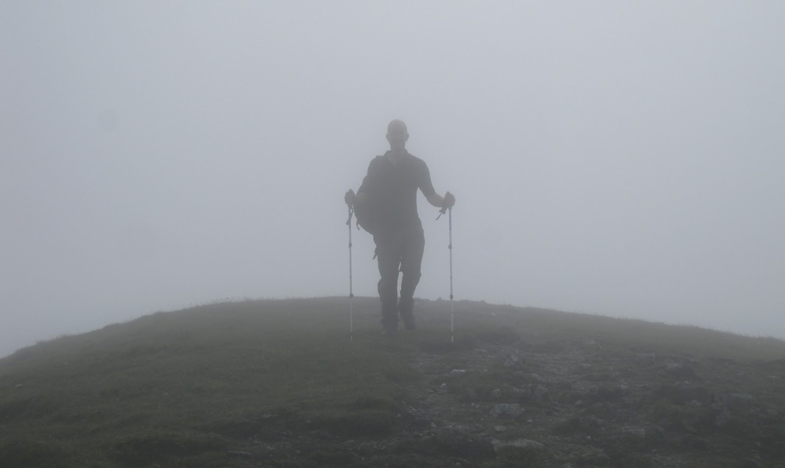

Jon Emerges From the Cloud (Just Before it Cleared)!

Lunch beckoned in a sheltered hollow (we had a cool wind all day) and no sooner had we sat down, when the cloud clearly got bored and promptly disappeared.  Suddenly, we could see for miles – north to the Glen Lyon hills, west to Ben Lawers and south to the Loch Earn and Crianlarich hills.  The day now became very easy and we followed the clear path and fence across the wide ridge and up to the rather more interesting summit ridge of Meall Garbh (1118m; rough hill).


Meall Garbh

Once here, the view became dominated by Ben Lawers itself and right in front of us, the sharp wedge of today’s final Munro: An Stuc.  It’s less than a kilometre away but you have to descend steeply to the narrow bealach between the peaks and then climb even more steeply up the fairly eroded path that leads up a greasy gulley to the small summit of the mountain – An Stuc (1118m; the peak).  This is the most photogenic and interesting of today’s 3 Munros and it is well placed directly above the feline-shaped Lochan nan Cat which sits snugly beneath the encircling cliffs of An Stuc’s eastern aspect.


An Stuc

The way home was straightforward.  We descended SW to the Bealach Dubh (black pass) and then peeled off left and descended steeply to the W shore of the Lochan and followed it until we picked up that morning’s path for a very entertaining descent back down to Lawers village.  A most agreeable day!

The Arrochar Alps:  Beinn Narnain & Beinn Ime


The Cobbler

Today was to prove slightly harder work in tougher conditions.  Whilst it remained largely clear and dry all day, a strong cold wind and some cloud on Beinn Ime made for some distinctly bleak conditions at times!


Beinn Narnain From Beinn Ime

We started from the car park (£1 all day) at the head of Loch Long at Succoth and climbed the new and well-engineered path/track that climbs through the young woods before spitting you out at 300m in full view of the finest peak in these parts: The Cobbler.  It was our plan (as it should be everybody’s) to include the wee man (a Corbett) whenever taking in the 2 higher Munros.


Loch Long From Beinn Narnain

From the treeline, the route leads shortly to a small weir and from here the excellent path follows the Allt a’Bhalachain (the delightfully named Buttermilk Burn) up towards the Cobbler with Beinn Narnain rising to the right.  When we reached the unmistakable Narnain Boulders, we left the path and climbed to our right up into the pathless, boulder-strewn slopes towards the Spearhead – the conspicuous rocky wedge that crowns the summit ridge.


High on Beinn Narnain

On reaching the skyline we intercepted the path that runs up the SE ridge of the mountain and gratefully followed it (avoiding the Spearhead to its right) until the flat summit plateau suddenly appeared.  In a further 200m we were at the cairned summit of our first peak of the day: Beinn Narnain (926m; hill of the notches).  This is a good viewpoint with the shapely cone of Ben Lomond away to the SE and the other Arrochar Alps all around.  Beinn Ime, in particular, looks quite impressive from here.


Beinn Ime From Beinn Narnain

We descended NW down a path that threads a couple of boulder fields before becoming clearer over grass and leading to a stile over a fence in the centre of the ever-muddy Bealach a’Mhaim.  I’ve never been here on a warm, sunny day and today was no exception!  We departed unhesitatingly up the muddy path that leads up the fairly drab, grassy southern slopes of Beinn Ime (1011m; hill of butter).  In fairness, just before reaching the large summit cairn, the path intercepts the encircling ridge of the mountain’s impressive eastern slopes and things do get a little more interesting, scenically at least.


The Cobbler From Beinn Ime

It was mid-afternoon by now and blowing a gale so we regrettably, but sensibly, opted to omit the Cobbler from our itinerary and returned straight down to the Bealach a’Mhaim and followed the Buttermilk Burn back along that morning’s path and down through the trees to the car.  The Arrochar Alps are smashing wee hills and conveniently placed  However, they do tend to have steep slopes on all sides and it is better not to try and do too many in any one day if they are to be appreciated and enjoyed to the full.  


Ben Lomond From Above Arrochar

Check out my plans for similar walks at: http://www.hillways.co.uk/summer/summer.htm

Thursday, 30 August 2012

Ben Nevis International


Sgurr a'Mhaim & Stob Ban From the Tourist Path

A run of regular trips up Ben Nevis is about to come to an end after a trio of international clients has provided welcome interest and entertainment on the well-worn Tourist path during August.

  
Quan Pauses for a Quick Snap

After American Marisa’s impressive romp in the rain at the beginning of the month, I was joined by Quan from Vietnam in mid-month.  Conditions weren’t great and the top of the mountain was particularly unfriendly with thick cloud, wind and rain enforcing the briefest of summit visits.  We did find time, however, to satisfy Quan’s insatiable appetite for photographs which led in turn to myself being handed cameras from half a dozen other summiteers as I briefly became the resident photographer!


The Highest Vietnamese in Britain!

The clouds did part on the descent and Quan finished the day bounding down the path and returning to the car in a creditable 6hrs 20 mins.  I now know an awful lot more about Vietnam!


Quan Heads For Home!

Last week, it was my pleasure to guide a young Hungarian lady who lives in Holland and speaks 3 languages (mind you, that’s only 2 more than  do)!  Typically for such a clever clogs (see what I did there?), Adrienn had picked just the right day and it remained clear and dry all day.

 
The Crowds Head Up

Given the kind conditions, the mountain was, of course, very crowded and a veritable snake of assorted families, individuals and couples from around the globe provided constant accompaniment.


Nearing the Top

Adrienn wasted no time in shinning up the Ben yet still found time to take several hundred photos – that was until her camera ran out of charge!  She may have been good at languages but she was rubbish at keeping phones and cameras charged!  Well I suppose you can't have everything...


A Rare View of the Upper Mountain

We were on top in under 3 hrs and soon found the hardest part of the climb to be trying to find somewhere to sit down on the crowded summit! 


Gardyloo Gulley

It was a refreshing change to get a clear sight down both Tower and Gardyloo Gulleys and the clear air gave us good views from Schiehallion to Skye!


The Crowded Summit

We left the crowds behind and raced down the mountain (it seemed) returning to the car in 5hrs 40 mins which left plenty of time to go into town looking for phone chargers…….  


Thursday, 2 August 2012

The Green Hills of Breadalbane


The Tarmachan Ridge

Green is very much the colour of the moment over much of the southern Highlands just now, and particularly in the grassy hills of Breadalbane (high Alba - the ancient name for Scotland) that surround Loch Tay.  Marisa had taken time off from her PhD to acquaint herself with the Highlands before returning to the States and Fiona joined us from Glasgow for a day.


Killin & Loch Tay

Killin, convenient as ever for these hills, was our base and the hill for our first half day chose itself – the always delightful Tarmachan Ridge.


Meall Garbh

Meall nan Tarmachan

This 3Km knolly ridge twists and turns over entertaining bumps and bealachs which will always be best enjoyed on a warm summer’s evening.  We set off from high on the road between Loch Tay and Glen Lyon close to the old site of the now removed National Trust for Scotland (NTS) Visitor Centre.  An excellent path (they’re all pretty good around here) leads off the private Hydro/quarry track and climbs up the open hillside to the skyline before bearing right up the ridge.


Meall Garbh

Half-way up, we passed an NTS working party busy repairing the footpath which takes a pounding from the many walkers enjoying this popular and accessible peak.  The ascent is straightforward and in less than 90 mins, we were standing on our first Munro of the week: Meall nan Tarmachan (1043m; hill of the ptarmigans).  The blue skies and clear air gave us wide views in all directions and Marisa seemed suitably impressed with what Scotland had to offer!


Meall Garbh & Beinn nan Euchan

After the climb came the fun part – the traverse of the Tarmachan ridge up and over Meall Garbh before a short but sharp drop (take care here) that leads to Beinn nan Euchan.  This summit gives excellent views west along Glen Lochay which now opens up below you.  There were just a few other walkers about, and one runner – a fellow American who had taken a couple of weeks off to run up and down a selection of Scotland’s finest peaks before heading down to London to help with the Olympics!


Beinn nan Euchan

Steeply down again from our last peak, we turned south and descended into Coire Fionn Lairige to pick up the end of the Hydro track which we followed all the way back to the car.  This is the best half-day’s hillwalking I know in the southern Highlands.  

Ben Lawers


Ben Lawers

Whilst the 7 Munros of the Lawers group can be tackled in one long day, assuming you have 2 cars, it is perhaps more enjoyable to split them into 2 and take time to savour them more.  With Fiona joining us, we did have 2 cars and so were able to leave one at our finishing point - the new NTS car park, and take the other to our start point at the large cairn beside the road at the head of the pass into Glen Lyon.


Meall a’ Choire Leith

The outlying grassy mound of Meall a’ Choire Leith is awkwardly placed some way north of the main Lawers ridge.  There’s no convenient direct path from this direction so we struck out across the open country using the contours to negotiate an intermediate mound and then a ridge followed by a grassy corrie before finally arriving at the mountain proper!  Here we intercepted a good path (at last) and followed it up the short southern ridge of Meall a’ Choire Leith (926m; hill of the grey corrie).  This is much more of a Glen Lyon hill than a Loch Tay one and  you can see why, given the commanding views you enjoy of that glen from the rounded summit.


Meall Corranaich

We returned down the southern ridge which in turn leads conveniently on to the northern ridge of our next peak.  This was excellent ridge walking now and steep grassy slopes on either side helped complement the airy feel about the walk.  In no time at all we were standing on our 2nd summit and Munro of the day: Meall Corranaich (1069m; crooked hill). 


Anyone Seen That Path...?

The path descends steeply from the summit to a high, narrow bealach at 860m that leads on to Beinn Ghlas.  Conveniently for us, however, an excellent path traverses the northern slopes of that mountain and leads directly to the bealach immediately below Ben Lawers.  Here we were joined by thronging masses of men, women and children (in varying degrees of happiness) – as well as the NTS working party we had seen on the previous day!  The summit was crowded but it is the 10th highest mountain in Britain after all: Ben Lawers (1214m; hill of the loud stream).


Beinn Ghlas

We lingered not and were soon back at the intervening bealach before the short and easy climb to our final peak of the day: Beinn Ghlas (1103m; greenish-grey hill).  This peak was much quieter (they were all still on Ben Lawers) and more importantly, we could now see the car!  The much-maintained path took us all the way back to the new NTS car park which, on sunny summer days such as this, clearly isn’t going to be big enough!

Postcript - Ben Nevis


She Made It!

On our 3rd day, given the forecast of low cloud and heavy rain which seemed destined to wash out the Killin Highland Games, Marisa opted for a dirty dart up to Fort William and a quick raid on Ben Nevis.  Yes it rained, but not as much as it did in Killin apparently, and we were smartly up and down in 5½ hrs!  No views mind… 

         
Two Ex-military Navigators Now in New Jobs! 


Check out my plans for similar walks at: http://www.hillways.co.uk/summer/summer.htm