


Sgurr Choinnich Mor
Four Munros to go to finish my 3rd round and all of them spread out along the Grey Corries ridge a few miles NE of Ben Nevis. The ridge itself, a twisting, turning snake of angular quartzite boulders, really only contains 2 Munros (Stob Choire Claurigh and Stob Coire an Laoigh). The other 2 (Stob Ban and Sgurr Choinnich Mor) sit inconveniently off the main ridge and significantly complicate any plan to climb all 4 Munros in a single day. As I planned to do.

Across the Grey Corries From Stob Ban
Starting from a short way above Corriechoille, 3Kms E of Spean Bridge, I
pushed the bike up the forest track that leads up through the Lairig Leacach
and eventually to Corrour & Rannoch.
I only needed to go as far as the small bothy which lies 2Kms beyond the
summit of the Lairig.

Stop Ban Above the Lairig Leacach Bothy
From here, a path leads SW up through the heather and grass and over a
subsidiary top to the distinctive quartzite cone of Stob Ban (977m; white peak). Being a cone, there then followed a steep
descent to the 800m bealach that separates Stob Ban from the main Grey Corries
ridge.

Stob Ban
The path continues up the other side on grassy slopes for a fairly
sustained climb of almost 380m before the grass gives way to a quartzite
boulder field that heralds the approach to the summit of Stob Choire Claurigh (1177m; peak of the noisy corrie).

Stob Choire Claurigh From Stob Ban
By now, the cloud had come down and I saw nothing of the ridge as I strode
manfully(!) on over all the subsidiary lumps and bumps including Stob a’ Choire
Leith (1105m), Stob Coire Cath na
Sine (1079m) and Caisteal (1106m) before reaching the 3rd
Munro of the day: Stob Coire an Laoigh (1116m;
peak of the corrie of the calf).

Stob Coire Easain & Stob Coire an Laoigh
Still in cloud, one more descent/re-ascent placed me on Stob Coire
Easain (1080m) from where my last
Munro finally appeared in view across a 935m bealach. The descent to the bealach is rocky in places
and requires care; the re-ascent on the other side is steep. But finally, I was on the impressive sharp
summit ridge of my ultimate goal and a very weary bunny almost staggered up to
the summit of Sgurr Choinnich Mor (1094m;
big mossy peak) to become only the 74th triple Munroist.

Sgurr Choinnich Mor
This is a fine mountain and deserved more singular treatment,
particularly to celebrate the end of my 3rd round. As it was, any elation was somewhat subsumed
by fatigue and the knowledge of how far I had yet to go to get back to the car.

Approaching the Last Summit
Still, it was a great relief and the resultant uplift in spirits
provided a welcome pick-me-up as I traversed back to Stob Coire Easain and
along the main ridge. I picked a route
that descended between Stob Choire Claurigh & Stob Ban (missing both peaks)
that got me back down to the bothy in reasonable time.

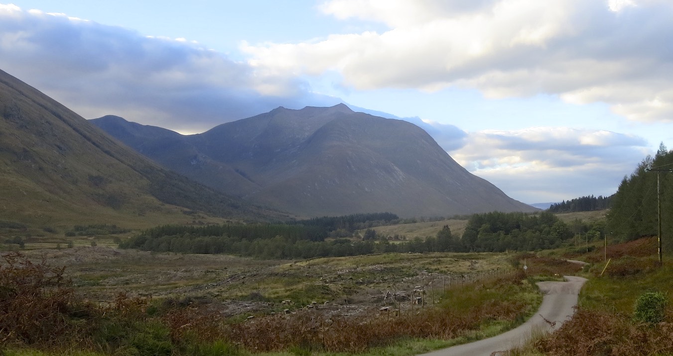
Lairig Leacach
Then it was back on the bike for a superb
fast freewheel all the way down the Lairig Leacach and that most welcome of sights
after a long hill-day: a motor car!

Stob Ban
The 3rd round had largely come to me through my professional
work with Hillways without which I would never have come close to achieving
it. And whist I am already half-way
through a 4th round for the same reason, it ain’t going to happen
again!
Or is it…….

Check out my plans for similar walks at http://www.hillways.co.uk/.htm


 Subscribe To This Feed